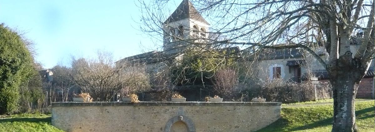
Les Charmettes, St. Geyrac, is located approximately 20km South East of Perigueux in the Dordogne. Its map coordinates for GPS systems are N45.07666 E0.90386; what3words:::sawn.disbelieve.scratched. St. Geyrac is convenient for motorways as well as Bergerac, Bordeaux and Limoges.
Les Charmettes, St. Geyrac is located approximately 20km SE of Perigueux in the Dordogne. Perigueux is about 400km due South of Paris and 130km ENE of Bordeaux.
There are two preferred routes from the Channel ports. The Westerly route follows a Rouen to Poitiers, Angouleme,thence to Perigueux track. The more Easterly route involves a circuit of the Peripherique around Paris and then southbound via Orleans, Chateauroux, Vierzon, Limoges, and then on to Perigueux.
Instructions from Perigueux are given below. You can also use the Google map to plan your trip from any starting point.
Exit Bergerac Airport. Follow main road for Bergerac. At second roundabout take exit over bridge, and head for Lalinde, then on to Le Bugue/Le Buisson. This follows the river Dordogne, initially on your right, but subsequently after Lalinde, on your left hand side. You will then re-cross the Dordogne about 10km before Le Bugue, at Le Buisson which will be on your right. Follow directions for Le Bugue. As you enter Le Bugue, you will cross the Vezere river. Shortly after the bridge, there is a mini-roundabout. Bear left, at the 9’0 clock mark, and proceed about 200 metres and the road then bears right past the Post Office. It is signposted to Perigueux.
From Le Bugue, follow the D710 in the direction of Perigueux about 20 km. Slow down as you enter the village of Les Versannes, and turn right immediately after the level crossing. This is almost a 180 turn. You are now on the D6. Continue for 3.5 km to a 4- way intersection. This is marked “La Talleyrandie, Montferrier, La Grelerie, and Les Charmettes”. If you go into St.Geyrac, you’ve gone too far.
At this junction turn RIGHT. Go approximately 1.5 km. You will see a sign “La Chamade” on the left. Continue straight and SLOWLY for 100 metres to the next turn on the left, which is behind a row of pine trees and opposite a security mirror. Turn left and then keep straight on, at the fork(150m).
From Bordeaux Airport. Exit the Airport, and follow the “Rocade” (ring Road) signs around Bordeaux in the direction of Paris. Follow signs for LIBOURNE or PERIGUEUX on the A89. It is advisable to bear to the right, as the Libourne/Perigueux turnoff, on the Bordeaux ring road (Rocade), is only 2km from the entry point, and is shortly after a filling station and a cable span bridge. After that, just follow the A89 Perigueux/Brive/Clermont-Ferrand signs. This is a toll road. Follow the signs (approx 110 km) until you reach exit 16 marked Perigueux (Est)/Brive.
At the exit roundabout follow the GREEN signs Perigueux/Limoges on the N221. At the next roundabout, follow the directions for Sarlat/Brive i.e. Eastbound on the N221. Again the signage is GREEN. Shortly after the N89 junction at the next roundabout, you will pass through NIVERSAC, with a railway station on the left hand side. Continue on the N89(/E70), to the LEVEL CROSSING. This is immediately followed by a roundabout. This is the junction with the D710, signposted for Toulouse/Spain (more GREEN signs). Turn right and follow the D710 for 10 km until you reach the village of Les Versannes.
Approximately 100 metres later, there is another LEVEL CROSSING. Take the left fork IMMEDIATELY before the level crossing (D6). Continue for 3.5 km to a 4- way intersection. This is marked “La Talleyrandie, Montferrier, La Grelerie, and Les Charmettes”. If you go into St.Geyrac, you’ve gone too far.
At this junction turn RIGHT up the hill. Go approximately 1.5 km. You will see a sign “La Chamade”. Continue straight and SLOWLY for 100 metres to the next turn on the left, which is behind a row of pine trees and opposite a security mirror. Turn left and keep straight on at the fork (150m).
From Limoges follow the N21 to Perigueux. Immediately before Perigueux, in Trelissac, there is a roundabout which has a stone shepherds hut in the middle and a McDonalds, on the right hand side. Turn left at this roundabout (9 o’clock position) and then go straight across the next roundabout. This has a large metal sculpture depicting a Mammoth Elephant. Continue straight up to the next roundabout and take the exit marked BRIVE, i.e. left. Shortly after this there is an N89 junction and approx. 2 km later you will pass through NIVERSAC, with a railway station on the left hand side. Continue to the LEVEL CROSSING followed by a roundabout. This is the junction with the D710 signposted for Toulouse/Spain. Turn right. Follow the D710 for 10 km until you reach the village of Les Versannes.
You will pass a defunct Avia petrol station on the left-hand side, and the Gare de la Chemin de Fer bar on the right. Approximately 100 metres later, there is a LEVEL CROSSING. Take the left fork IMMEDIATELY before the level crossing (D6). Continue for 3.5 km to a 4- way intersection. This is marked “La Talleyrandie, Montferrier, La Grelerie, and Les Charmettes”. If you go into St.Geyrac, you’ve gone too far.
At this junction turn RIGHT. Go approximately 1.5 km. You will see a sign “La Chamade” on the left. Continue straight and SLOWLY for 100 metres to the next turn on the left, which is behind a row of pine trees and opposite a security mirror. Turn left and then keep straight on at the fork (150m).
Exit Perigueux, following GREEN signs towards BRIVE/Clermont Ferrand. When you reach a railway crossing at NIVERSAC, turn right on to the D710 at the roundabout, after the railway crossing. Follow the D710 for approx 7 km, until the village of "Les Versannes". Continue through Les Versannes and TURN LEFT IMMEDIATELY before the railway crossing.
Continue for 3.5 km to a 4- way intersection. This is marked “La Talleyrandie, Montferrier, La Grelerie, and Les Charmettes”. If you go into St.Geyrac, you’ve gone too far.
At this junction turn RIGHT. Go approximately 1.5 km. You will see a sign “La Chamade” on the left. Continue straight and SLOWLY for 100 metres to the next turn on the left, which is behind a row of pine trees and opposite a security mirror. Turn left and keep straight on at the fork(150m).